
Buena Vista State Forest topographic map
Interactive map
Click on the map to display elevation.
About this map
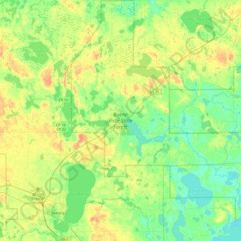
Name: Buena Vista State Forest topographic map, elevation, terrain.
Average elevation: 416 m
Minimum elevation: 392 m
Maximum elevation: 461 m
Other topographic maps
Click on a map to view its topography, its elevation and its terrain.
Wilton
United States > Minnesota > Beltrami County
Wilton, Beltrami County, Minnesota, 56687, United States
Average elevation: 425 m
Kitchi Lake
United States > Minnesota > Beltrami County
Kitchi Lake, Beltrami County, Minnesota, United States
Average elevation: 398 m
Lake Campbell
United States > Minnesota > Beltrami County > Werner
Lake Campbell, Werner, Beltrami County, Minnesota, United States
Average elevation: 418 m
Bemidji
United States > Minnesota > Beltrami County
Bemidji, Beltrami County, Minnesota, 56601, United States
Average elevation: 417 m