Geolocate

Ruerrero topographic map

Click on the map to display elevation.

About this map

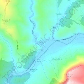
Name: Ruerrero topographic map, elevation, terrain.

Location: Ruerrero, Valderredible, Cantabria, 39232, España (42.81199 -3.92386 42.85199 -3.88386)

Average elevation: 789 m

Minimum elevation: 685 m

Maximum elevation: 1,164 m

Other topographic maps

Click on a map to view its topography, its elevation and its terrain.

Torre de Cadalso

España > Cantabria > Valderredible

Average elevation: 762 m

Gear up for your next adventure:

🧦Outdoor Socks - Durable socks designed for hiking and outdoor sports
🔦LED Flashlight - Powerful and long-lasting flashlight for camping and emergencies
🧴Insect Repellent - Protect yourself from bugs during outdoor adventures
🔪Outdoor Multitool - Versatile tool for repairs and food prep in the wild
🔦LED Headlamp - Hands-free lighting for early morning starts or late finishes

As an Amazon Associate, this site earns from qualifying purchases at no extra cost to you.