Geolocate

Laimerstadt topographic map

Click on the map to display elevation.

Laimerstadt

Das Kirchdorf liegt in den sanft hügeligen Anhöhen des hier beginnenden Jura an der Staatsstraße 2232 etwa 8 km südlich des Altmühltales. Die weiten Ebenen des Donautales befinden sich ca. 10 km südlich des Dorfes.

About this map

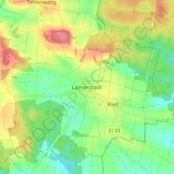
Name: Laimerstadt topographic map, elevation, terrain.

Location: Laimerstadt, Altmannstein, Landkreis Eichstätt, Bayern, Deutschland (48.86145 11.69336 48.90145 11.73336)

Average elevation: 426 m

Minimum elevation: 390 m

Maximum elevation: 476 m

Gear up for your next adventure:

🥾Waterproof Trail Shoes - Shoes designed to handle wet terrain
🔋Emergency Crank Radio - Weather alerts and power without needing batteries
💧Collapsible Water Bottle - Space-saving water bottle for outdoor activities
🥾Hiking Boots - Sturdy boots providing ankle support and traction on rugged trails
🧭GPS Handheld Device - Reliable GPS navigation for outdoor adventures

As an Amazon Associate, this site earns from qualifying purchases at no extra cost to you.