Geolocate

Moongilpadi topographic map

Click on the map to display elevation.

About this map

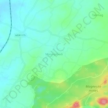
Name: Moongilpadi topographic map, elevation, terrain.

Location: Moongilpadi, Omalur, Salem District, Tamil Nadu, 636012, India (11.72063 78.09325 11.76063 78.13325)

Average elevation: 329 m

Minimum elevation: 301 m

Maximum elevation: 408 m

Gear up for your next adventure:

🛌Insulated Sleeping Pad - Critical thermal barrier between you and the cold ground
🧤Rechargeable Heated Gloves - Extreme warmth for Canadian winter expeditions
🔨Vehicle Emergency Tool - Safety tool for remote road trips to trailheads
🥫Freeze-Dried Meals - Lightweight, high-calorie nutrition for multi-day treks
🥾Hiking Shoes - Durable and comfortable shoes for trail hiking

As an Amazon Associate, this site earns from qualifying purchases at no extra cost to you.