
Port Republic topographic map
Interactive map
Click on the map to display elevation.
About this map
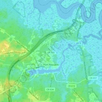
Name: Port Republic topographic map, elevation, terrain.
Location: Port Republic, Atlantic County, New Jersey, United States (39.49816 -74.51743 39.55931 -74.44229)
Average elevation: 5 m
Minimum elevation: -1 m
Maximum elevation: 21 m