Geolocate

Los Angeles topographic map

Click on the map to display elevation.

About this map

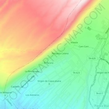
Name: Los Angeles topographic map, elevation, terrain.

Location: Los Angeles, Calana, Province of Tacna, Tacna, 23000, Peru (-17.96488 -70.22414 -17.92488 -70.18414)

Average elevation: 948 m

Minimum elevation: 757 m

Maximum elevation: 1,199 m

Gear up for your next adventure:

🥾Trail Hiking Socks - Comfortable socks to prevent blisters and fatigue
🛶Kayak Dry Bag - Waterproof storage for kayaking adventures
🧭GPS Handheld Device - Reliable GPS navigation for outdoor adventures
🚲MTB Frame Bag - Carry tools and maps directly on your bicycle frame
🧴Insect Repellent - Protect yourself from bugs during outdoor adventures

As an Amazon Associate, this site earns from qualifying purchases at no extra cost to you.