Geolocate

Bukit Tinggi topographic map

Click on the map to display elevation.

About this map
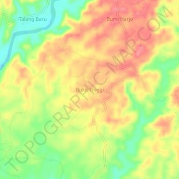
Name: Bukit Tinggi topographic map, elevation, terrain.

Location: Bukit Tinggi, Bengkulu Utara, Bengkulu, Sumatra, Indonesia (-3.34953 101.81582 -3.30953 101.85582)

Average elevation: 47 m

Minimum elevation: 2 m

Maximum elevation: 82 m

Gear up for your next adventure:

🥾Hiking Shorts - Breathable shorts suitable for summer hikes
💡Portable Camping Lamp - Rechargeable lamp for campsite lighting
🔋Emergency Crank Radio - Weather alerts and power without needing batteries
🥾Waterproof Hiking Boots - Boots keeping your feet dry in wet conditions
🥾Waterproof Hiking Shoes - Durable shoes for wet and rugged trails

As an Amazon Associate, this site earns from qualifying purchases at no extra cost to you.