
Lubbock topographic map
Click on the map to display elevation.
About this map
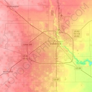
Name: Lubbock topographic map, elevation, terrain.
Location: Lubbock, Lubbock County, Texas, United States (33.44786 -102.03212 33.70843 -101.74901)
Average elevation: 988 m
Minimum elevation: 919 m
Maximum elevation: 1,020 m