
Mammoth Lake topographic map
Click on the map to display elevation.
About this map
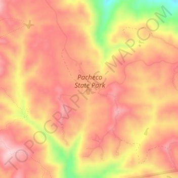
Name: Mammoth Lake topographic map, elevation, terrain.
Location: Mammoth Lake, Merced County, California, United States (37.04281 -121.19368 37.04430 -121.19204)
Average elevation: 399 m
Minimum elevation: 219 m
Maximum elevation: 484 m
Other topographic maps
Click on a map to view its topography, its elevation and its terrain.
Delhi
United States > California > Merced County
Delhi (/ˈdɛlhaɪ/ DEL-hye) is a census-designated place (CDP) in Merced County in the U.S. state of California. Delhi is 18 miles (29 km) west-northwest of Merced, at an elevation of 118 feet (36 m). According to the 2020 census, the population was 10,656.
Average elevation: 38 m
Planada
United States > California > Merced County
Planada (Spanish for "Plain") is a census-designated place (CDP) in Merced County, California, United States. Planada is 9 miles (14 km) east of Merced, the county seat, at an elevation of 226 feet (69 m). The population was 4,164 at the 2020 census, down from 4,584 at the 2010 census.
Average elevation: 71 m