
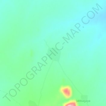
Fa’a topographic map
Interactive map
Click on the map to display elevation.
About this map
Name: Fa’a topographic map, elevation, terrain.
Location: Fa’a, Hong, Adamawa State, Nigeria (10.44850 12.96571 10.48850 13.00571)
Average elevation: 503 m
Minimum elevation: 466 m
Maximum elevation: 642 m