
Arandis topographic map
Interactive map
Click on the map to display elevation.
About this map
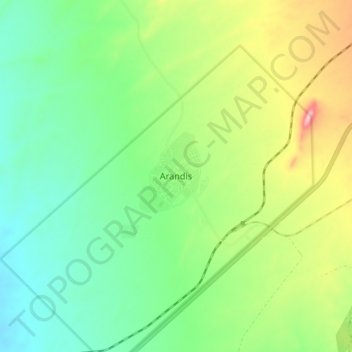
Name: Arandis topographic map, elevation, terrain.
Location: Arandis, Erongo, Namibie (-22.45743 14.93561 -22.37743 15.01561)
Average elevation: 582 m
Minimum elevation: 512 m
Maximum elevation: 720 m
Other topographic maps
Click on a map to view its topography, its elevation and its terrain.
Grootspitzkop
Namibie > Erongo > Grootspitzkop
Grootspitzkop, Erongo, Namibie
Average elevation: 1,074 m