
Gandar topographic map
Click on the map to display elevation.
About this map
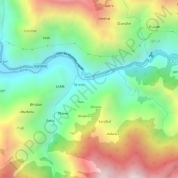
Name: Gandar topographic map, elevation, terrain.
Location: Gandar, Rakh, Chamba, Himachal Pradesh, 176311, India (32.44544 76.21672 32.48544 76.25672)
Average elevation: 1,633 m
Minimum elevation: 1,084 m
Maximum elevation: 2,471 m