Geolocate

Tampak topographic map

Click on the map to display elevation.

About this map

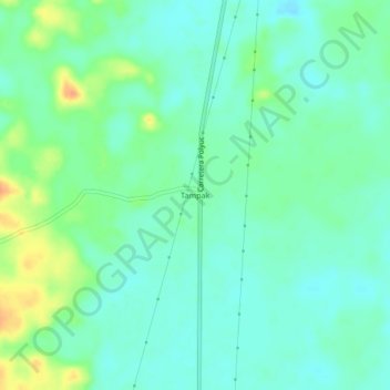
Name: Tampak topographic map, elevation, terrain.

Location: Tampak, Felipe Carrillo Puerto, Quintana Roo, Mexico (19.50803 -88.61688 19.54803 -88.57688)

Average elevation: 28 m

Minimum elevation: 16 m

Maximum elevation: 55 m

Gear up for your next adventure:

🏃Hydration Running Vest - Carry water and maps close to your body for speed
🔦LED Headtorch - Bright and durable light for night activities
🚑Survival Whistle - Signal for help across long distances in mountains
🧊Portable Cooler - Keep food and drinks cold during outdoor adventures
🧭GPS Handheld Device - Reliable GPS navigation for outdoor adventures

As an Amazon Associate, this site earns from qualifying purchases at no extra cost to you.