
Đồng Hới topographic map
Interactive map
Click on the map to display elevation.
About this map
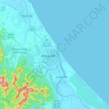
Name: Đồng Hới topographic map, elevation, terrain.
Location: Đồng Hới, Quang Binh province, 052, Vietnam (17.30596 106.43847 17.62596 106.75847)
Average elevation: 53 m
Minimum elevation: -4 m
Maximum elevation: 677 m
The city has diverse topographical and geological features, including hill, mountainous, half mountainous, coastal plains and coastal sand dunes.