
Pulau-pulau Natuna Utara topographic map
Interactive map
Click on the map to display elevation.
About this map
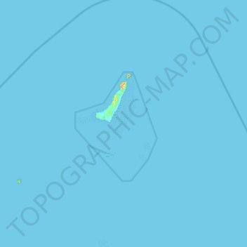
Name: Pulau-pulau Natuna Utara topographic map, elevation, terrain.
Location: Pulau-pulau Natuna Utara, Riauinseln, Indonesien (4.34667 107.68000 4.98667 108.32000)
Average elevation: 0 m
Minimum elevation: 0 m
Maximum elevation: 245 m
Other topographic maps
Click on a map to view its topography, its elevation and its terrain.