Geolocate

Tail-Baila topographic map

Click on the map to display elevation.

About this map

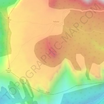
Name: Tail-Baila topographic map, elevation, terrain.

Location: Tail-Baila, Mulshi, Maharashtra, India (18.56241 73.33511 18.56251 73.33521)

Average elevation: 567 m

Minimum elevation: 171 m

Maximum elevation: 878 m

Other topographic maps

Click on a map to view its topography, its elevation and its terrain.

Aamby Valley

India > Maharashtra > Mulshi

Average elevation: 710 m

Kasarsai

India > Maharashtra > Mulshi > Nere

Average elevation: 605 m

Gear up for your next adventure:

🌬️Windproof Camp Stove - Efficient cooking even on exposed mountain peaks
🧭GPS Tracker - Track your location in remote areas safely
🥾Light Hiking Boots - Lightweight and comfortable boots for day hikes
🥾Lightweight Hiking Shoes - Comfortable shoes for day hikes
🥾Mountain Hiking Shoes - Shoes with superior grip for mountainous terrain

As an Amazon Associate, this site earns from qualifying purchases at no extra cost to you.