Geolocate

Stoney Lake topographic map

Click on the map to display elevation.

About this map

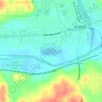
Name: Stoney Lake topographic map, elevation, terrain.

Location: Stoney Lake, Lowell, Kent County, Michigan, United States (42.92595 -85.35650 42.92838 -85.34864)

Average elevation: 203 m

Minimum elevation: 186 m

Maximum elevation: 242 m

Gear up for your next adventure:

🧊Insulated Water Bottle - Keeps drinks cold in summer and prevents freezing in winter
🔦UV Flashlight - Detect minerals or specific insects in the dark
Camping Tent - Weather-resistant tents suitable for 2 to 6 people
🥾Trekking Poles - Adjustable trekking poles to reduce knee stress and improve stability
🧴Waterproofing Spray - Restore the DWR coating on jackets and tents

As an Amazon Associate, this site earns from qualifying purchases at no extra cost to you.