
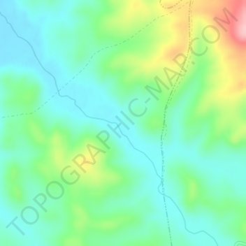
Cerro Paula topographic map
Interactive map
Click on the map to display elevation.
About this map
Name: Cerro Paula topographic map, elevation, terrain.
Location: Cerro Paula, Higuera de Calatrava, Jaén, Andalucía, España (37.79868 -4.13230 37.81868 -4.11230)
Average elevation: 338 m
Minimum elevation: 290 m
Maximum elevation: 455 m