
Thank you for supporting this site ❤️
Make a donation
Make a donation
Gear up for your next adventure:
As an Amazon Associate, this site earns from qualifying purchases at no extra cost to you.
Hinderhausen topographic map
Click on the map to display elevation.
Thank you for supporting this site ❤️
Make a donation
Make a donation
Gear up for your next adventure:
As an Amazon Associate, this site earns from qualifying purchases at no extra cost to you.
About this map
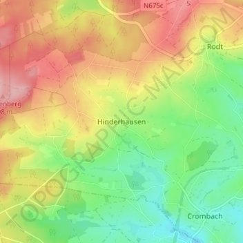
Name: Hinderhausen topographic map, elevation, terrain.
Location: Hinderhausen, Sankt Vith, Verviers, Luik, Wallonië, 4780, België (50.25469 6.02653 50.29469 6.06653)
Average elevation: 514 m
Minimum elevation: 450 m
Maximum elevation: 587 m
Thank you for supporting this site ❤️
Make a donation
Make a donation
Gear up for your next adventure:
As an Amazon Associate, this site earns from qualifying purchases at no extra cost to you.