Geolocate

Talsperre Pöhl topographic map

Click on the map to display elevation.

Talsperre Pöhl

Die Talsperre Pöhl ist nach der Größe des Speicherraums die zweitgrößte und nach der Höhe des Absperrbauwerkes über Gründung sowie nach der Wasserfläche die drittgrößte Talsperre in Sachsen. Die Talsperre dient dem Hochwasserschutz, der Brauchwasserversorgung, der Niedrigwasseraufhöhung, der Energieerzeugung, der Freizeiterholung und als Verkehrsbauwerk.

Wikipedia (CC-BY-SA 3.0)

About this map

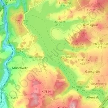
Name: Talsperre Pöhl topographic map, elevation, terrain.

Location: Talsperre Pöhl, Helmsgrün, Pöhl, Vogtlandkreis, Sachsen, 08543, Deutschland (50.51418 12.17976 50.55536 12.23387)

Average elevation: 388 m

Minimum elevation: 309 m

Maximum elevation: 462 m

Gear up for your next adventure:

💧Hydration Bladder - Hands-free hydration solution for long treks
🧼Biodegradable Camp Soap - Environmentally friendly cleaning for gear and body
🦶Hiking Shoe Insoles - Added support for high arches and long days on feet
🥾Trail Hiking Boots - Supportive boots for rough trails
🥾Trail Hiking Shoes - Durable shoes designed for rugged trails

As an Amazon Associate, this site earns from qualifying purchases at no extra cost to you.