Geolocate

Hatzic Lake topographic map

Click on the map to display elevation.

About this map

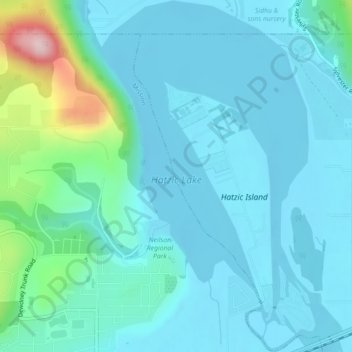
Name: Hatzic Lake topographic map, elevation, terrain.

Location: Hatzic Lake, Hatzic, Mission, British Columbia, Canada (49.15032 -122.25479 49.17943 -122.22403)

Average elevation: 43 m

Minimum elevation: -2 m

Maximum elevation: 288 m

British Columbia trails, hiking, mountain biking, running and outdoor activities

Gear up for your next adventure:

🥾Waterproof Hiking Boots - Essential footwear for rugged terrain and wet Canadian trails
👟Trail Running Shoes - Agile footwear for fast-paced topographic exploration
🛰️Satellite Messenger - Emergency communication for areas with no cell service
🥾Approach Shoes - Shoes designed for climbing approaches and rugged trails
🛁Quick-Dry Microfiber Towel - Space-saving towel that dries rapidly on the move

As an Amazon Associate, this site earns from qualifying purchases at no extra cost to you.