
Lydd topographic map
Interactive map
Click on the map to display elevation.
About this map
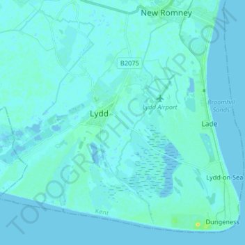
Name: Lydd topographic map, elevation, terrain.
Average elevation: 2 m
Minimum elevation: -3 m
Maximum elevation: 22 m
Other topographic maps
Click on a map to view its topography, its elevation and its terrain.
Folkestone and Hythe
Reino Unido > Inglaterra > Folkestone and Hythe
Folkestone and Hythe, Kent, South East, Inglaterra, Reino Unido
Average elevation: 40 m