
Peddapadu topographic map
Interactive map
Click on the map to display elevation.
About this map
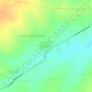
Name: Peddapadu topographic map, elevation, terrain.
Location: Peddapadu, Kallur, Kurnool, Andhra Pradesh, India (15.78720 77.96079 15.82720 78.00079)
Average elevation: 299 m
Minimum elevation: 284 m
Maximum elevation: 318 m