Geolocate

Maralbeshi topographic map

Click on the map to display elevation.

About this map
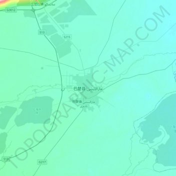
Name: Maralbeshi topographic map, elevation, terrain.

Location: Maralbeshi, Maralbexi County, Kachgar, Xinjiang, China (39.63966 78.38627 39.95966 78.70627)

Average elevation: 1,119 m

Minimum elevation: 1,105 m

Maximum elevation: 1,290 m

Gear up for your next adventure:

⛺Camping Essentials - All-in-one gear for a comfortable camping trip
❄️Traction Ice Cleats - Slip-on spikes for icy trails and winter hiking
🛶Canoe Life Vest - Safety vest for water sports
🧰Emergency Multi-Tool - Compact multi-tool for outdoor survival
💡Solar Camping Lamp - Eco-friendly lighting for campsites

As an Amazon Associate, this site earns from qualifying purchases at no extra cost to you.