Geolocate

Leedstown topographic map

Click on the map to display elevation.

About this map
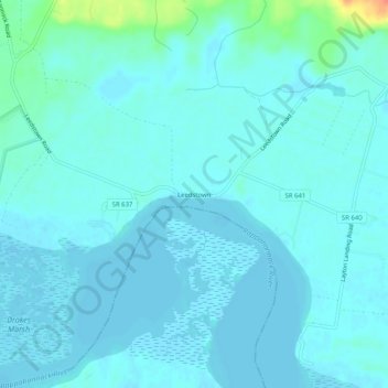
Name: Leedstown topographic map, elevation, terrain.

Location: Leedstown, Westmoreland County, Virginia, 22509, United States (38.09152 -77.01858 38.13152 -76.97858)

Average elevation: 6 m

Minimum elevation: -1 m

Maximum elevation: 46 m

Other topographic maps

Click on a map to view its topography, its elevation and its terrain.

Montross

United States > Virginia > Westmoreland County

Average elevation: 37 m

Gear up for your next adventure:

🕶️Polarized Sunglasses - Reduces glare from snow and water at high elevations
🧢Hiking Hat - Sun-protective and breathable hats for long treks
⛺Family Camping Tent - Spacious tent suitable for family camping trips
🔋Emergency Crank Radio - Weather alerts and power without needing batteries
⛺Bushcraft Tarp - Versatile emergency shelter or gear protection

As an Amazon Associate, this site earns from qualifying purchases at no extra cost to you.