Geolocate

Jade Hill topographic map

Click on the map to display elevation.

About this map

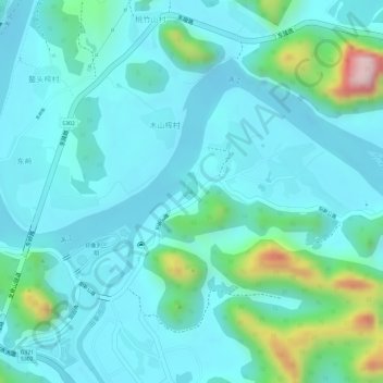
Name: Jade Hill topographic map, elevation, terrain.

Location: Jade Hill, Guilin, Guangxi, 514900, China (24.77393 110.51092 24.77403 110.51102)

Average elevation: 150 m

Minimum elevation: 97 m

Maximum elevation: 378 m

Other topographic maps

Click on a map to view its topography, its elevation and its terrain.

Pingle County

China > Guangxi > Guilin

Average elevation: 390 m

Xiangshan District

China > Guangxi > Guilin

Average elevation: 179 m

Yangshuo County

China > Guangxi > Guilin

Average elevation: 319 m

Yangshuo County

China > Guangxi > Guilin

Average elevation: 319 m

Gear up for your next adventure:

🌬️Windproof Camp Stove - Efficient cooking even on exposed mountain peaks
🎒Hiking Daypack - Lightweight and durable backpacks for day trips and excursions
🐕Hiking Dog Pack - Let your canine companion carry their own water and food
🧰Survival Kit - Essential gear for emergencies in the wilderness
🧴First Aid Kit - Essential first aid supplies for outdoor emergencies

As an Amazon Associate, this site earns from qualifying purchases at no extra cost to you.