
Kasterlee topographic map
Interactive map
Click on the map to display elevation.
About this map
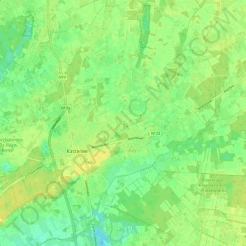
Name: Kasterlee topographic map, elevation, terrain.
Location: Kasterlee, Antwerp, Flanders, 2460, Belgium (51.21325 4.93749 51.28464 5.03225)
Average elevation: 19 m
Minimum elevation: 8 m
Maximum elevation: 26 m