Geolocate

Pelham topographic map

Click on the map to display elevation.

About this map
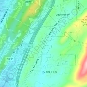
Name: Pelham topographic map, elevation, terrain.

Location: Pelham, Shelby County, Alabama, United States of America (33.29748 -86.79112 33.29804 -86.79052)

Average elevation: 176 m

Minimum elevation: 133 m

Maximum elevation: 302 m

Gear up for your next adventure:

🛶Kayak Dry Bag - Waterproof storage for kayaking adventures
🧦Merino Wool Socks - Moisture-wicking comfort for long-distance hiking
🦟Insect Repellent - Keep mosquitoes and black flies away in wooded areas
☕Camping Coffee Maker - Brew fresh coffee anywhere on the topographic map
🦶Hiking Shoe Insoles - Added support for high arches and long days on feet

As an Amazon Associate, this site earns from qualifying purchases at no extra cost to you.