Geolocate

Kent County topographic map

Click on the map to display elevation.

About this map
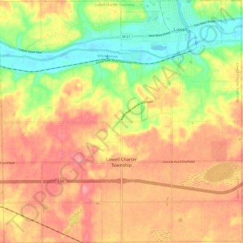
Name: Kent County topographic map, elevation, terrain.

Location: Lowell Charter Township, Kent County, Michigan, 49331, United States of America (42.85629 -85.43149 42.94407 -85.31141)

Average elevation: 237 m

Minimum elevation: 185 m

Maximum elevation: 276 m

Other topographic maps

Click on a map to view its topography, its elevation and its terrain.

Flint

United States of America > Michigan > Flint

Average elevation: 239 m

Gear up for your next adventure:

⛺Family Camping Tent - Spacious tent suitable for family camping trips
🧥Ultralight Puffy Jacket - Maximum warmth that packs down to the size of an orange
🥾Trail Hiking Boots - Supportive boots for rough trails
🕶️Polarized Sunglasses - Reduces glare from snow and water at high elevations
🩹Moleskin Blister Pads - Direct protection for painful foot pressure points

As an Amazon Associate, this site earns from qualifying purchases at no extra cost to you.