
Moyie Lake topographic map
Click on the map to display elevation.
About this map
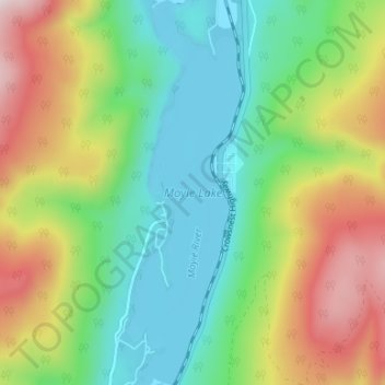
Name: Moyie Lake topographic map, elevation, terrain.
Average elevation: 1,185 m
Minimum elevation: 925 m
Maximum elevation: 1,657 m
Regional District of East Kootenay trails, hiking, mountain biking, running and outdoor activities