Geolocate

Holopaw topographic map

Click on the map to display elevation.

About this map

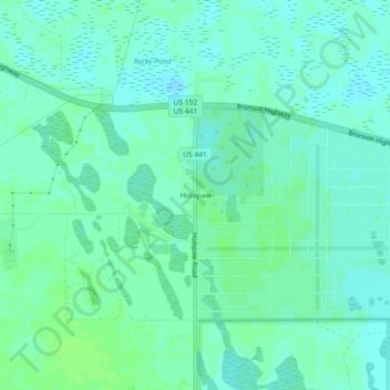
Name: Holopaw topographic map, elevation, terrain.

Location: Holopaw, Osceola County, Florida, United States (28.11585 -81.09618 28.15585 -81.05618)

Average elevation: 23 m

Minimum elevation: 19 m

Maximum elevation: 27 m

Gear up for your next adventure:

🧼Travel Hand Sanitizer - Keep hands clean when water is scarce
🧴Sunscreen SPF - Broad-spectrum sunscreen for outdoor activities
🛌Insulated Sleeping Pad - Critical thermal barrier between you and the cold ground
🔨Vehicle Emergency Tool - Safety tool for remote road trips to trailheads
🧴Outdoor Sunscreen - High SPF protection for high-altitude UV exposure

As an Amazon Associate, this site earns from qualifying purchases at no extra cost to you.