Geolocate

Bangla topographic map

Click on the map to display elevation.

About this map

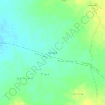
Name: Bangla topographic map, elevation, terrain.

Location: Bangla, Devendranagar Tahsil, Panna, Madhya Pradesh, India (24.52619 80.34333 24.56619 80.38333)

Average elevation: 345 m

Minimum elevation: 336 m

Maximum elevation: 358 m

Gear up for your next adventure:

🕯️Camping Lantern - Illuminates your entire campsite with high-efficiency LEDs
🦯Trekking Poles - Reduced impact on joints for steep topographic climbs
💡Compact LED Flashlight - Powerful and portable flashlight for outdoor use
🥾Hiking Shorts - Breathable shorts suitable for summer hikes
🌡️Emergency Mylar Blankets - Compact thermal protection for unexpected nights outdoors

As an Amazon Associate, this site earns from qualifying purchases at no extra cost to you.