
Thank you for supporting this site ❤️
Make a donation
Make a donation
Gear up for your next adventure:
As an Amazon Associate, this site earns from qualifying purchases at no extra cost to you.
Barrage de Sainte-Croix topographic map
Click on the map to display elevation.
Thank you for supporting this site ❤️
Make a donation
Make a donation
Gear up for your next adventure:
As an Amazon Associate, this site earns from qualifying purchases at no extra cost to you.
About this map
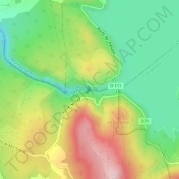
Name: Barrage de Sainte-Croix topographic map, elevation, terrain.
Average elevation: 536 m
Minimum elevation: 411 m
Maximum elevation: 710 m
Thank you for supporting this site ❤️
Make a donation
Make a donation
Gear up for your next adventure:
As an Amazon Associate, this site earns from qualifying purchases at no extra cost to you.
Other topographic maps
Click on a map to view its topography, its elevation and its terrain.
Lac de Sainte-Croix
France > Provence-Alpes-Côte d'Azur > Alpes-de-Haute-Provence > Sainte-Croix-du-Verdon
Average elevation: 584 m
Paraloup
France > Provence-Alpes-Côte d'Azur > Alpes-de-Haute-Provence > Sainte-Croix-du-Verdon > Les Roux
Average elevation: 563 m