Geolocate
👉 Easily get elevation data in JSON, GeoTIFF and KML formats using Elevation API
Thank you for supporting this site ❤️
Make a donation

Lebad topographic map

Click on the map to display elevation.

About this map

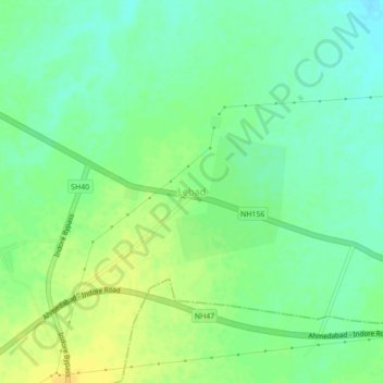
Name: Lebad topographic map, elevation, terrain.

Location: Lebad, Dhar Tahsil, Dhar, Madhya Pradesh, India (22.65446 75.45728 22.69446 75.49728)

Average elevation: 531 m

Minimum elevation: 520 m

Maximum elevation: 543 m

Gear up for your next adventure:

🧥Fleece Jacket - Warm and lightweight jacket for layering
🥘Camping Cookware Set - Compact nesting pots and pans for trail cooking
🐕Hiking Dog Pack - Let your canine companion carry their own water and food
Camping Coffee Maker - Brew fresh coffee anywhere on the topographic map
🧶550 Survival Paracord - Versatile utility cord for emergency repairs and rigging

As an Amazon Associate, this site earns from qualifying purchases at no extra cost to you.