
Tongu topographic map
Interactive map
Click on the map to display elevation.
About this map
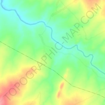
Name: Tongu topographic map, elevation, terrain.
Location: Tongu, Fufore, Adamawa State, Nigeria (8.76333 12.39667 8.80333 12.43667)
Average elevation: 326 m
Minimum elevation: 285 m
Maximum elevation: 382 m
Other topographic maps
Click on a map to view its topography, its elevation and its terrain.