Geolocate

Abu Rudays topographic map

Click on the map to display elevation.

About this map

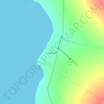
Name: Abu Rudays topographic map, elevation, terrain.

Location: Abu Rudays, South Sinai, Egypt (28.86361 33.14750 28.94361 33.22750)

Average elevation: 15 m

Minimum elevation: 0 m

Maximum elevation: 66 m

Gear up for your next adventure:

🛶Kayak Dry Bag - Waterproof storage for kayaking adventures
🦯Trekking Poles - Reduced impact on joints for steep topographic climbs
🧥Fleece Jacket - Warm and lightweight jacket for layering
👟Leg Gaiters - Keep debris, mud, and snow out of your boots
🧴Sunscreen SPF - Broad-spectrum sunscreen for outdoor activities

As an Amazon Associate, this site earns from qualifying purchases at no extra cost to you.