Geolocate

Bagontapay topographic map

Click on the map to display elevation.

About this map

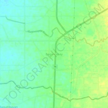
Name: Bagontapay topographic map, elevation, terrain.

Location: Bagontapay, North Cotabato, Soccsksargen, Philippines (6.85096 124.87546 6.89096 124.91546)

Average elevation: 27 m

Minimum elevation: 18 m

Maximum elevation: 37 m

Gear up for your next adventure:

Lightweight Camping Tent - Portable shelter optimized for Canadian backcountry camping
🧥Packable Rain Jacket - Breathable waterproof layer for unpredictable weather
🥾Lightweight Hiking Boots - Boots for comfort and mobility on long hikes
🥾Hiking Shorts - Breathable shorts suitable for summer hikes
🚑Survival Whistle - Signal for help across long distances in mountains

As an Amazon Associate, this site earns from qualifying purchases at no extra cost to you.