
Ngong topographic map
Interactive map
Click on the map to display elevation.
About this map
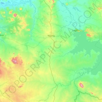
Name: Ngong topographic map, elevation, terrain.
Location: Ngong, Bénoué, North, Cameroon (8.61106 13.03440 9.24570 13.62977)
Average elevation: 269 m
Minimum elevation: 169 m
Maximum elevation: 639 m
Other topographic maps
Click on a map to view its topography, its elevation and its terrain.
Harande Bame
Cameroon > North > Bénoué > Ngong
Harande Bame, Ngong, Bénoué, North, Cameroon
Average elevation: 202 m