
Cerro del Judío topographic map
Interactive map
Click on the map to display elevation.
About this map
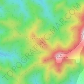
Name: Cerro del Judío topographic map, elevation, terrain.
Location: Cerro del Judío, Vianos, Albacete, Castilla-La Mancha, España (38.53850 -2.46968 38.53860 -2.46958)
Average elevation: 1,390 m
Minimum elevation: 1,187 m
Maximum elevation: 1,685 m
Other topographic maps
Click on a map to view its topography, its elevation and its terrain.
La Cúspide
España > Castilla-La Mancha > Vianos
La Cúspide, Vianos, Albacete, Castilla-La Mancha, España
Average elevation: 1,230 m