

Maur topographic map
Click on the map to display elevation.
Maur
Maur is located at 30°05′N 75°15′E / 30.08°N 75.25°E / 30.08; 75.25. It has an average elevation of 212 metres (695 feet).Situated on Bathinda Mansa road at a distance of 35 km from Bathinda, the district headquarters, Maur (also called Maur Mandi) is a railway station on the Firozpur - Bathinda - New Delhi railway line. It has become its own tehsil. It is well connected by road with the State headquarters, Chandigarh (187 km), Patiala (122 km), Talwandi Sabo (18 km) and Bathinda (35 km).
About this map
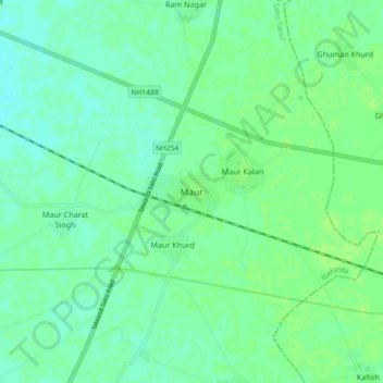
Name: Maur topographic map, elevation, terrain.
Location: Maur, Maur Tahsil, Bathinda, Punjab, 151509, India (30.02611 75.18985 30.10611 75.26985)
Average elevation: 216 m
Minimum elevation: 211 m
Maximum elevation: 219 m