Geolocate

Diwanganj topographic map

Click on the map to display elevation.

About this map

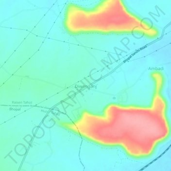
Name: Diwanganj topographic map, elevation, terrain.

Location: Diwanganj, Raisen Tahsil, Raisen, Madhya Pradesh, India (23.40179 77.53991 23.44179 77.57991)

Average elevation: 470 m

Minimum elevation: 445 m

Maximum elevation: 543 m

Other topographic maps

Click on a map to view its topography, its elevation and its terrain.

Diwanganj

India > Madhya Pradesh > Raisen Tahsil

Average elevation: 472 m

Gear up for your next adventure:

🥾Trekking Boots - Durable boots for long-distance trekking
🔋Lithium AA Batteries - Long-lasting power that performs in extreme cold
🥾Trail Hiking Boots - Supportive boots for rough trails
🥾Trail Running Shoes - Lightweight and durable shoes for trail running
🥾Trail Hiking Socks - Comfortable socks to prevent blisters and fatigue

As an Amazon Associate, this site earns from qualifying purchases at no extra cost to you.