Geolocate

Rui topographic map

Click on the map to display elevation.

About this map

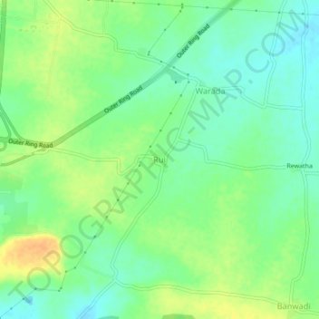
Name: Rui topographic map, elevation, terrain.

Location: Rui, Nagpur Rural Taluka, Nagpur, Maharashtra, India (21.00017 79.05296 21.04017 79.09296)

Average elevation: 301 m

Minimum elevation: 287 m

Maximum elevation: 319 m

Other topographic maps

Click on a map to view its topography, its elevation and its terrain.

Bazagaon

India > Maharashtra > Nagpur Rural Taluka

Average elevation: 407 m

Butibori

India > Maharashtra > Nagpur Rural Taluka

Average elevation: 271 m

Butibori

India > Maharashtra > Nagpur Rural Taluka

Average elevation: 271 m

Gear up for your next adventure:

🥾Waterproof Hiking Shoes - Durable shoes for wet and rugged trails
🩹Moleskin Blister Pads - Direct protection for painful foot pressure points
🧰Survival Kit - Essential gear for emergencies in the wilderness
🔭Outdoor Binoculars - Lightweight binoculars for birdwatching and hiking
🥾Hiking Shorts - Breathable shorts suitable for summer hikes

As an Amazon Associate, this site earns from qualifying purchases at no extra cost to you.