Geolocate

Berubari topographic map

Click on the map to display elevation.

About this map

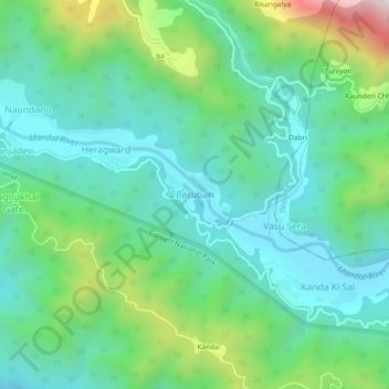
Name: Berubari topographic map, elevation, terrain.

Location: Berubari, Lansdowne, Pauri Garhwal, Uttarakhand, India (29.63022 78.89299 29.67022 78.93299)

Average elevation: 806 m

Minimum elevation: 588 m

Maximum elevation: 1,430 m

Gear up for your next adventure:

🧥Waterproof Hiking Jacket - Protect yourself from rain and wind while hiking
🧤Rechargeable Heated Gloves - Extreme warmth for Canadian winter expeditions
🧣Merino Neck Gaiter - Protects against wind, sun, and cold at high altitudes
🥾Waterproof Hiking Boots - Essential footwear for rugged terrain and wet Canadian trails
🔥Camping Stove - Portable stoves to cook outdoors with ease

As an Amazon Associate, this site earns from qualifying purchases at no extra cost to you.