
Plazuela Amboro topographic map
Interactive map
Click on the map to display elevation.
About this map
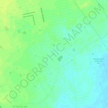
Name: Plazuela Amboro topographic map, elevation, terrain.
Average elevation: 403 m
Minimum elevation: 394 m
Maximum elevation: 410 m
Other topographic maps
Click on a map to view its topography, its elevation and its terrain.
Santa Cruz de la Sierra
Bolivie > Santa Cruz > Provincia Andrés Ibáñez > Santa Cruz de la Sierra
Santa Cruz de la Sierra, Municipio Santa Cruz de la Sierra, Provincia Andrés Ibáñez, Santa Cruz, 3212, Bolivie
Average elevation: 409 m