Geolocate

Louise Lake topographic map

Click on the map to display elevation.

About this map

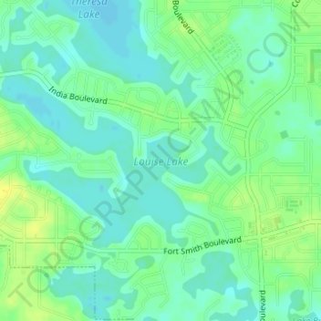
Name: Louise Lake topographic map, elevation, terrain.

Location: Louise Lake, Deltona, Volusia County, Florida, United States (28.87756 -81.20556 28.89215 -81.18044)

Average elevation: 11 m

Minimum elevation: 3 m

Maximum elevation: 21 m

Other topographic maps

Click on a map to view its topography, its elevation and its terrain.

Deltona

United States > Florida > Volusia County > Deltona

Average elevation: 12 m

Gear up for your next adventure:

🥾Hiking Shorts - Breathable shorts suitable for summer hikes
🪑Ultralight Camping Stool - Compact seating for rest stops during long hikes
🧢Outdoor Cap - Protective cap for sun and rain during hikes
🥾Trail Hiking Socks - Comfortable socks to prevent blisters and fatigue
🧤Thermal Hiking Gloves - Grip-enhanced gloves for cold-weather altitude trekking

As an Amazon Associate, this site earns from qualifying purchases at no extra cost to you.