Geolocate

Brown Bay topographic map

Click on the map to display elevation.

About this map

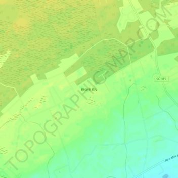
Name: Brown Bay topographic map, elevation, terrain.

Location: Brown Bay, Horry County, South Carolina, United States (33.88715 -79.10954 33.92715 -79.06954)

Average elevation: 19 m

Minimum elevation: 6 m

Maximum elevation: 26 m

Other topographic maps

Click on a map to view its topography, its elevation and its terrain.

Gear up for your next adventure:

🥾Trail Hiking Shoes - Durable shoes designed for rugged trails
🥾Hiking Boots - Sturdy boots providing ankle support and traction on rugged trails
🥘Camping Cookware Set - Compact nesting pots and pans for trail cooking
🌬️Windproof Camp Stove - Efficient cooking even on exposed mountain peaks
Bushcraft Tarp - Versatile emergency shelter or gear protection

As an Amazon Associate, this site earns from qualifying purchases at no extra cost to you.