Geolocate

Lamai topographic map

Click on the map to display elevation.

About this map

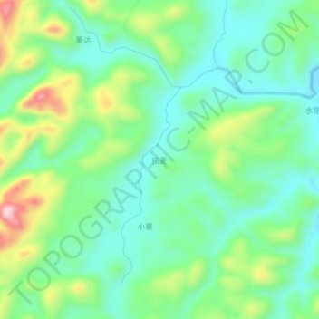
Name: Lamai topographic map, elevation, terrain.

Location: Lamai, Pingtang, Qiannan, Guizhou, 558000, China (25.87710 107.23800 25.91710 107.27800)

Average elevation: 852 m

Minimum elevation: 761 m

Maximum elevation: 1,063 m

Gear up for your next adventure:

🧥Ultralight Puffy Jacket - Maximum warmth that packs down to the size of an orange
🐕Hiking Dog Pack - Let your canine companion carry their own water and food
🔦LED Flashlight - Powerful and long-lasting flashlight for camping and emergencies
🔭Outdoor Binoculars - Lightweight binoculars for birdwatching and hiking
🔭Compact Monocular - One-handed bird watching and trail spotting

As an Amazon Associate, this site earns from qualifying purchases at no extra cost to you.