
Make a donation
Gear up for your next adventure:
As an Amazon Associate, this site earns from qualifying purchases at no extra cost to you.
Schwüblingsen topographic map
Click on the map to display elevation.
Make a donation
Gear up for your next adventure:
As an Amazon Associate, this site earns from qualifying purchases at no extra cost to you.
Schwüblingsen
In der Nacht vom 1. auf den 2. Juni 1781 ereignete sich in Schwüblingsen eine Feuersbrunst, die zwei Hauseigentümer in Mitleidenschaft zog. Die Rede ist von Johann Christoph Niewerts, dessen Wohnhaus erst im Vorjahr eingeäschert worden war, und Hans Hinrich Bethmann, die beide am 29. Juni 1781 auf dem Amt in Meinersen ihre Brandversicherungsgelder in Höhe von 150 bzw. 175 Reichstalern ausbezahlt erhielten.
Make a donation
Gear up for your next adventure:
As an Amazon Associate, this site earns from qualifying purchases at no extra cost to you.
About this map
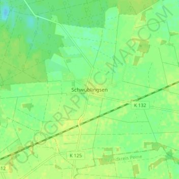
Name: Schwüblingsen topographic map, elevation, terrain.
Average elevation: 63 m
Minimum elevation: 54 m
Maximum elevation: 68 m
Make a donation
Gear up for your next adventure:
As an Amazon Associate, this site earns from qualifying purchases at no extra cost to you.