
Edingen topographic map
Interactive map
Click on the map to display elevation.
About this map
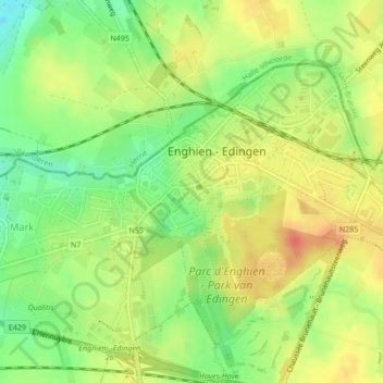
Name: Edingen topographic map, elevation, terrain.
Location: Edingen, Aat, Henegouwen, Wallonië, België (50.68803 4.02920 50.69762 4.04604)
Average elevation: 58 m
Minimum elevation: 31 m
Maximum elevation: 81 m