Geolocate

Tianjing topographic map

Click on the map to display elevation.

About this map

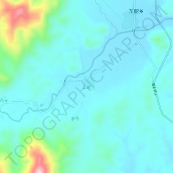
Name: Tianjing topographic map, elevation, terrain.

Location: Tianjing, Ningdu County, Ganzhou, Jiangxi, China (26.88259 115.96981 26.92259 116.00981)

Average elevation: 294 m

Minimum elevation: 242 m

Maximum elevation: 567 m

Gear up for your next adventure:

🧰Multitool Knife - Compact and versatile tool for outdoor use
🦟Insect Repellent - Keep mosquitoes and black flies away in wooded areas
🧭GPS Outdoor Watch - Smart watch for navigation and fitness tracking in nature
🥾Waterproof Hiking Shoes - Durable shoes for wet and rugged trails
Camping Essentials - All-in-one gear for a comfortable camping trip

As an Amazon Associate, this site earns from qualifying purchases at no extra cost to you.